Field Trips are an opportunity for students to experience the natural world at which their environmental studies highlight on. The RTEA focuses on combining all areas of the environment and disciplines that are represented within the association. Throughout the past, the AUGA (Auckland University Geoscience Association) have had major control over field trips which have specifically focused on geological aspects.
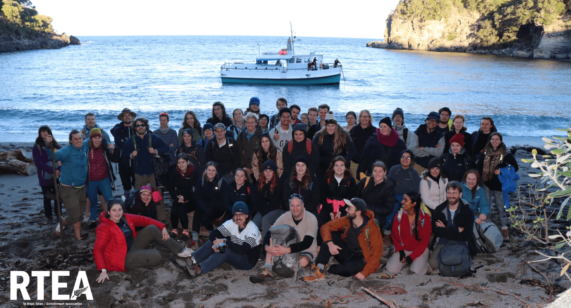
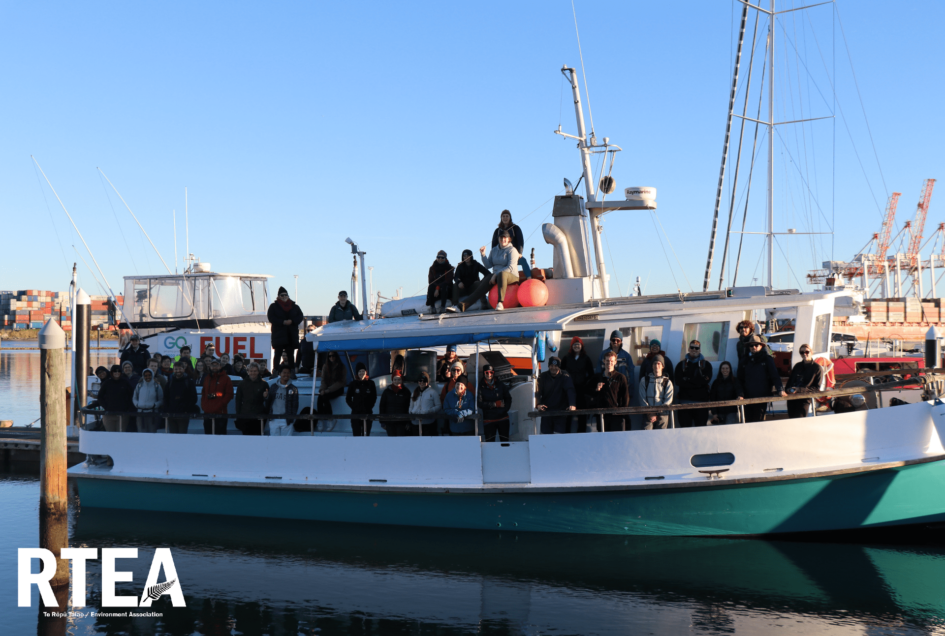
Field Trip with Wellington and Waikato universities.
Date: 2021
This field trip was an amazing opportunity to connect with other students from Wellington and Waikato universities. The field trip was 2 nights and 3 days and included tours of Orakei Korako, Tawawera, and Mayor Island.
Orakei Korako
Orakei Korako boasts the most active geysers of any geothermal park in New Zealand. Up to 23 active natural geysers play freely through the area, which is constantly changing. Marvel at the number of boiling hot springs and the vibrant colours all around you, or take a native bushwalk through this untouched geothermal paradise. The Lonely Planet Guide describes Orakei Korako as “…arguably the best thermal area left in New Zealand”.
Information from: https://www.orakeikorako.co.nz/


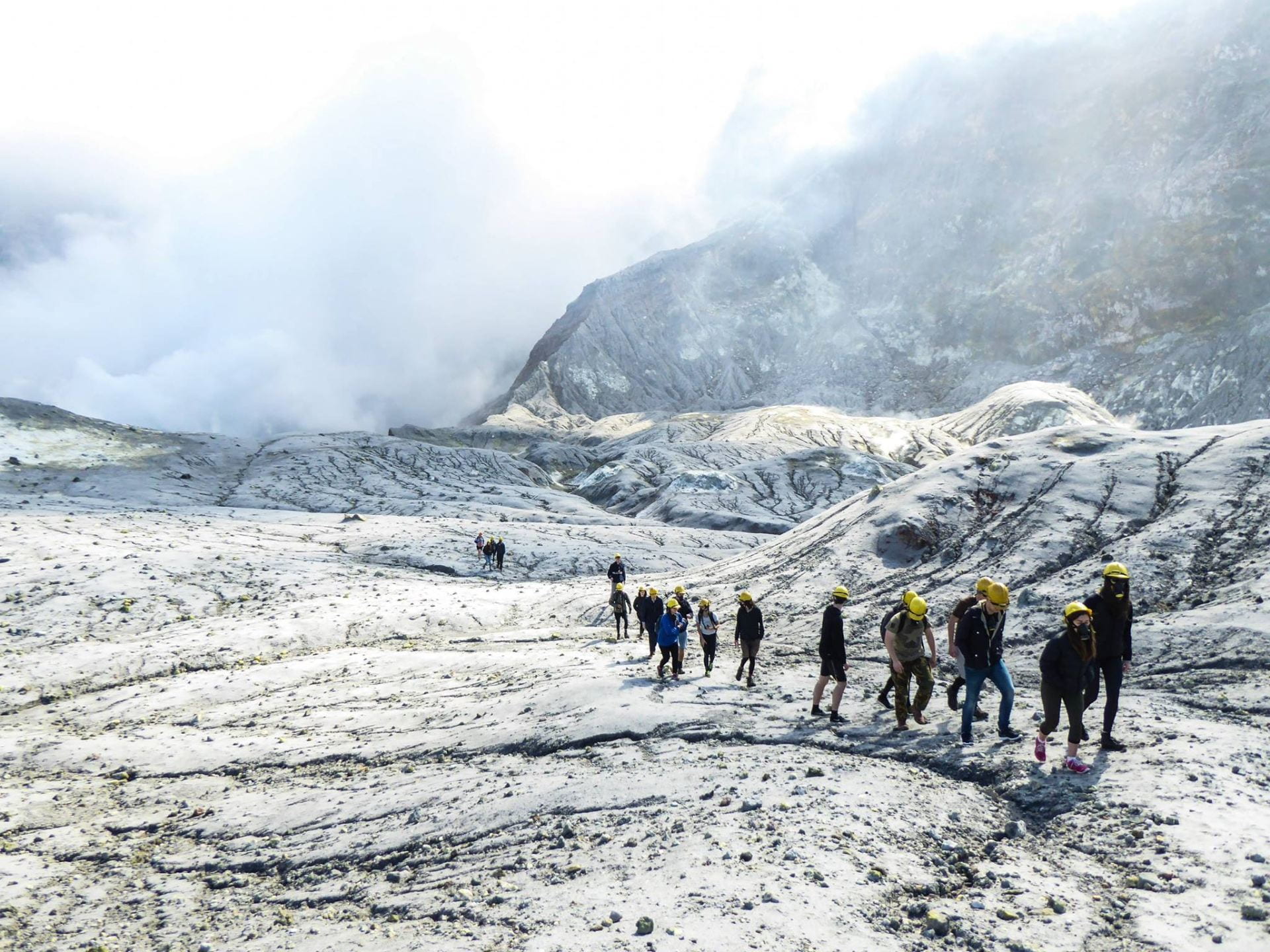
Tarawera
Tarawera is one of a number of dome volcanoes in the Okataina Volcanic Centre which lies east of Rotorua. This area is a caldera (collapse crater) that became volcanically active about 400 000 years ago and which last subsided about 64,000 years ago. Since then eruptions from many vents in the caldera floor have built dome volcanoes and partly filled in the hole left by that collapse.
The time between eruptions in the Okataina Volcanic Centre is long (700 to 3000 years) but eruptions are 100 to 10,000 times larger than those of cone volcanoes.
Tarawera is the site of New Zealand’s largest eruption during the last 500 years. Eruptions which created Mt Tarawera began about 18,000 years ago. The volcano is 1111m high and it has three dome shaped peaks with a central fissure. It is surrounded by a number of lakes created or altered by the 1886 eruption.
On 10 June 1886, the Tarawera eruption began at 1.30am and lasted about 5 hours. Witnesses described earthquakes, lightning storms and fireballs, strong winds, suffocating gases, ash fall and darkness during daylight hours as the ash cloud passed overhead.
A 17 km long rift was blasted across the top of the mountain, through Lake Rotomahana and into the Waimangu Valley area. A mixture of steam and finely fragmented rock known as the ‘Rotomahana Mud’ spread over a wide area and was heavy enough to collapse nearby buildings. The world famous Pink and White Terraces were destroyed, and more than 100 people were killed in villages near the mountain. The ‘Buried Village’ of Te Wairoa has been excavated from the rocks, ash and mud which buried it in 1886.
Although caldera volcanoes usually erupt rhyolite magma very explosively, the 1886 eruption produced basalt which is less viscous.
GNS Science is monitoring Okataina Caldera with 8 seismographs, 7 continuous GPS stations, lake monitoring and levelling.
Information from: https://www.gns.cri.nz/Home/Learning/Science-Topics/Volcanoes/New-Zealand-Volcanoes/Okataina-Volcanic-Centre-Mt-Tarawera-Volcano


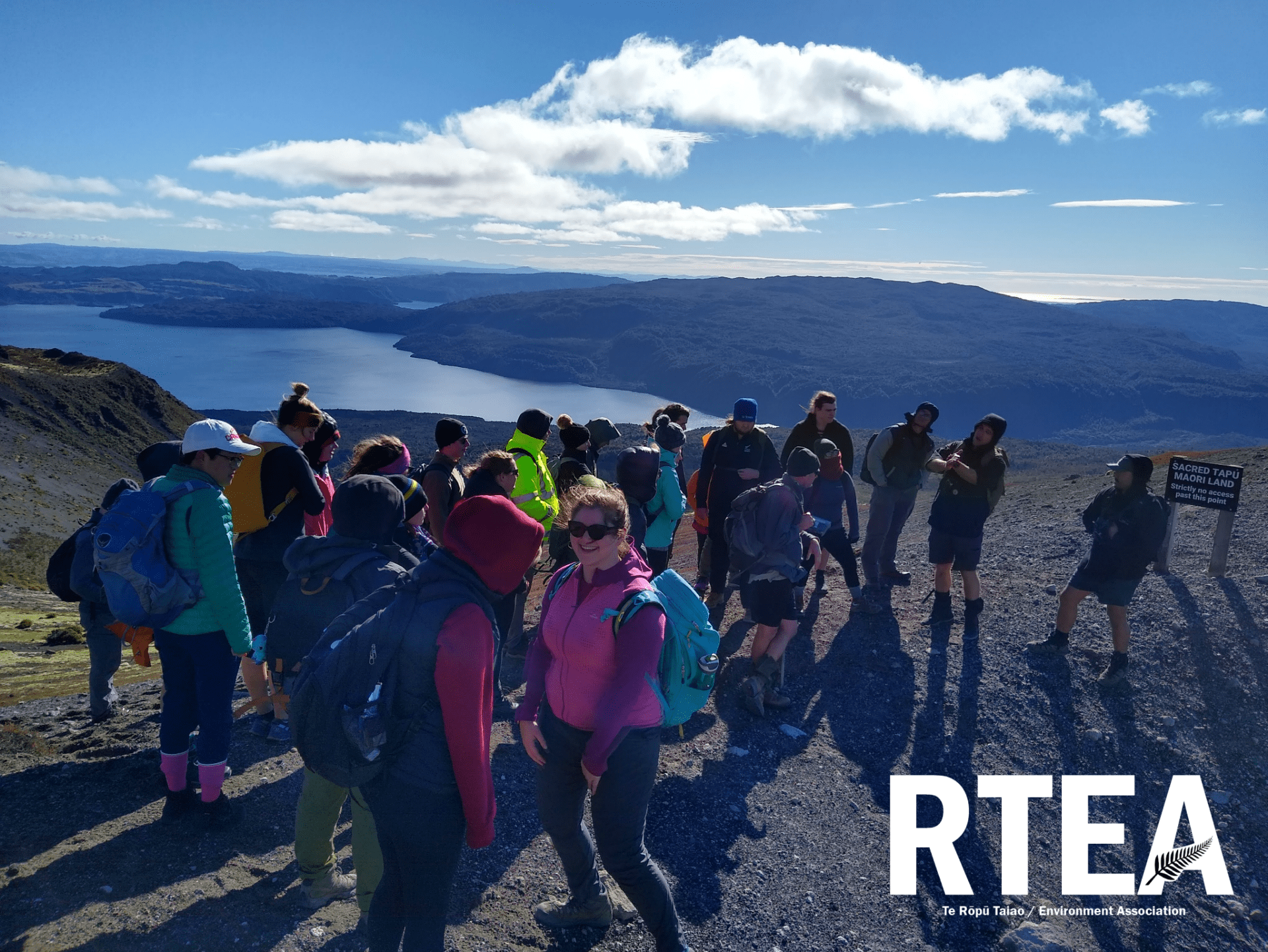


Mayor Island
Mayor Island is an infrequently active bush covered volcano sitting quietly in the Bay of Plenty, offshore from Waihi. It is about 4 km in diameter and is dominated by a caldera (collapse crater).
Since activity began, about 130 000 years ago there have been atleast 52 eruptions –a minimum of once every 3000 years. Exact timing of the most recent eruptions is unclear although some lava flows are thought to be about 500 to 1000 years old.
Volcanologists find Mayor Island interesting because it has a very diverse history of eruption styles including fire fountaining, lava domes and very explosive eruptions from contact with water.
Although it is in a dormant state, it is regarded as active and a large eruption could affect the mainland with ash fall as well as a tsunami hazard.
GNS Science is monitoring Mayor Island with a seismograph to indicate volcanic earthquake activity.
Information from: https://www.gns.cri.nz/Home/Learning/Science-Topics/Volcanoes/New-Zealand-Volcanoes/Mayor-Island


Waihi Mine Tour
Date: 2019
This tour involved being lead around the vicinity of the Oceana Gold Ltd. Waihi mine and explained the process of mining precious ore. There was one night stay at the Top 10 Waihi Beach and a day of site seeing around the landscape of the Karangahake gorge.


Waitomo
Date: 2019
The Waitomo trip was lead by the AUGA (Auckland University Geoscience Association) and focused primarily on the geology of the landscape. The first two days focused on exploring caves and looking at fossilized duck eggs, moa bones, and preserved oyster shells. The last day was spent visiting the various environmental features around the area.


Field Trips previous to 2019
These field trips are from the AUGA (Auckland University Geoscience Association) and are previous to the current people leading the association at present. This included a field trip in 2016 to White Island.